Ensure that your application can read data from existing and new sources without changing how you communicate with them. Ensure that the data you share can be accessed by different clients, without having to share details of your implementation.
This API is based on the technologies and vocabularies that make up the web today, such as REST, OpenAPI, JSON and HTML. This should ensure a smooth learning curve for any web developer, even if they are not familiar with GIS.
You can start using the OGC API - Features specification today, by tapping into one of the existing server or client implementations.
Lists the collections of data on the server that can be queried, and each describes basic information about the geospatial data collection, like its id and description, as well as the spatial and temporal extents of all the data contained.
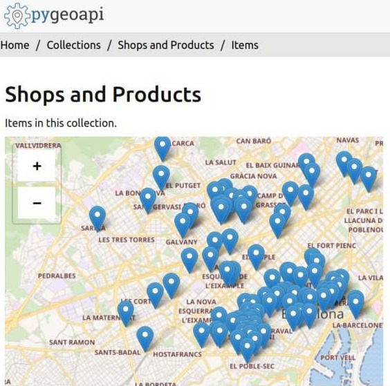
Requests all the data in a given collection. The response format (typically HTML or a GeoJSON feature collection, but GML is supported, too, and extensions can easily supply others) is determined using HTTP content negotiation.
Returns a single 'feature' - something in the real-world (a building, a stream, a county, etc.) that typically is described by a geometry plus other properties. This provides a stable, canonical URL to link to the 'thing'.
If you are interested in finding out how-to use other coordinate reference systems, you can read this . You can find here links for different parts of the spec and explore it using Swagger .
Powered by GoKoala
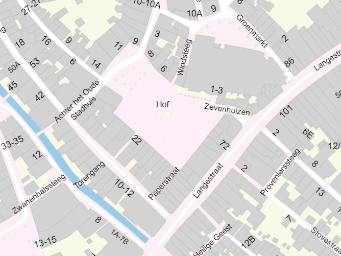
Are you interested in large-scale topographic data of the Netherlands? In the Key Register Large-scale Topography (BGT) you can find all about building types, address labels, road segments (such as cycle paths, lanes, driveways, and shoulders), as well as topographic boundaries (such as fences and walls), terrain types, and water. You can access this data directly or use the landing page.
Servers by Technology | ||||
---|---|---|---|---|
Java | Ldproxy * | / | ||
Geoserver | / | |||
Deegree * | / | |||
Python | pygeoapi * | / | ||
GeoPortal | ||||
JavaScript | Sofp | / | ||
C/C++ | QGIS Server | / | ||
GNOSIS Map Server * |
Clients by Technology | ||||
---|---|---|---|---|
Python | OWSLib | / | ||
Pygdal | Check GDAL's documentation . | |||
JavaScript | ogcapi-js | / | ||
C/C++ | GDAL | / | ||
Integration framework | Apache Camel | / |
OGC API Features is developed through a member-driven consensus process, which creates royalty free, publicly available, open geospatial Standards. The Open Geospatial Consortium (OGC) is the organisation which drives this process. It is supported by an active community of members, with involvement from a large range of organizations, as well as smaller ones. Join OGC today!
The logos above are a small subset of all OGC members. They are either strategic/principal members, and/or organisations who implement products certified for OGC API - Features.
If you are familiar with web services and APIs, and want to have an overview of the OGC API - Features Standard, this training is for you.
Implement a complete pipeline to make your data available with OGC API - Features, using a stack of free and open source software. A video version is available here.